Rocky Mountain National Park, as I have been learning, is chock full of spectacular hikes. Creating a select list of trails is very difficult. There are so many to explore and favor. Each hike that I fancy presents itself more favorably then the last. After much thought and deliberation, I have selected five different hikes to highlight. One that consummates to a summit. Two that end at lakes, one of which passes a waterfall. One that climbs along a river to a waterfall. And one meandering valley trail that passes through alpine pastures that may offer views of grazing elk.
Deer Mountain
 Trailhead
 - Deer Ridge Junction: accessed via car on the Trail Ridge Road 3 miles from the Beaver Meadows Entrance Station at the Trail Ridge Road and Highway 34 split
Distance - 6 miles roundtrip
Elevation Gain - 8,930' - 10,013 (1,236' total elevation gain)
Description - Deer Mountain is at the top of a ridge that splits two meadows offering great panoramic views of the surrounding area including Longs Peak and Estes Park, the majority of the climb is in the first two miles after which trail follows the ridge; binoculars recommended
Link to more info
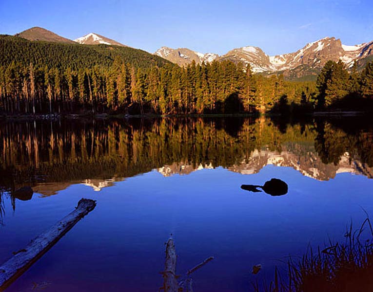
Fern Lake/Fern Waterfall
Trailhead -
Fern Lake: accessed via car 4.1 miles from the Beaver Meadows Entrance Station
Distance - 7.7 miles roundtrip
Elevation Gain - 8,165' - 9,520' (1,481' elevation change)
Description -this hike follows the Big Thompson River as it moderately climbs to Fern Lake, all along this River, there is reportedly great fishing, but catch and release only; 2.65 miles into the hike is Fern Falls; Fern Lake is 1.2 miles further; there are several lakes in the area
Link
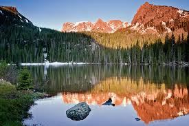
Lake Helene
Trailhead - Bear Lake: accessed via shuttle bus from the Moraine Park Visitor Center
 Distance -
 6.3 miles roundtrip
Elevation - 9,475' - 10,692' (1,294' elevation change)
Description - a well marked and busy trail that ends at a lake that is surrounded by 12,000' feet mountains on three sides (Flattop Mt, Notchtop Mt, Ptarmigan Pt), the trail is steep, but moderate in that it is a little over three miles one way, there is fishing allowed at this particular lake, but catch and release only
Link
Bridal Veil Falls
Trailhead - Cow Creek: accessed via car north of Estes Park on Devil's Gulch Road
Distance - 6.1 miles
Elevation Gain - 7,855' - 8,775 (920' elevation gain)
Description - a moderate trail that follows Cow Creek, and climbs into granite rock formations of a range called Lumpy Ridge, the area is home to large raptor birds living in the rocks; there are several valley overlooks offering wildlife viewing opportunities; bring binoculars
Link
Ute Trail to Timberline Pass
Trailhead - Ute: accessed via car on Trail Ridge Road 13.4 miles from the Beaver Meadow Entrance
Distance - 4 miles roundtrip
Elevation Gain- 11,465' - 11,656 (472' elevation gain)
Description - this trail follows a route that was used by Indians when hunting game and is fairly easy traveling across an alpine tundra meadow above the tree line; there are great chances of seeing elk and other large game out to pasture; there are great views of the Big Thompson River and its canyon below this flat tundra; bring binoculars
Link


