August 9, 2012

Hike Review: Cub Lake to Fern Lake Loop

Cub Lake
Cub Lake Trail-head
Location: Rocky Mountain National Park; Cub Lake Trail-head out at Fern Lake Trail-head in Moraine Park
Distance: 6 miles
Difficulty: Moderate
Elevation Change: 8,000 feet at trail-head to 8,700 (700 foot elevation gain)
Time of year best to hike: Late June to early October
Recommended Maps: Rocky Mountain National Park


Mother Deer and Fawn

Summary: This fairly easy trail starts heading south along the western edge of Moraine Park, but soon turns west and heads slightly up in elevation into a very tame and seldom rocky canyon.  The trail is very well worn.  I got a 6:30 AM start and was all alone; at later hours this can be a very busy path.  2.3 miles after meandering along meadows, aspen groves, beaver ponds, and Rocky Mountain splendor, the lily pond Cub Lake presents itself.


The Pool on the Big Thompson

I continued northwest past the lake to the Pool section of the Big Thompson River, another 1.0 mile beyond Cub Lake.  I like hiking loops.  At the pool, I change my direction to east on the Fern Lake trail and head 1.7 miles to the trail-head.  From here, I have a one mile walk back to the Cub Lake Trail-head on a dirt road overgrown and covered by noisy aspen.  Upon my exit, both Fern Lake and Cub Lake Trail-head parking lots were full.  It was Thursday, first week in August.

Highlights: herd of elk, otter, deer and her fawn, Cub Lake, roaring Big Thompson River, Arch Rocks, The Pool

Arch Rocks
Bridge Crossing - Big Thompson


Beaver Evidence
Big Thompson River


Exit - Fern Lake Trail-head


August 1, 2012

Hike Review: Longs Peak via the Keyhole Route

Longs Peak from the North
2:30 AM

 Longs Peak Sunrise Glow
5.9 Miles and a 3,500 foot climb: The Boulderfield
Above the Boulderfield:  The Keyhole


After the Keyhole: The Ledges

The Keyhole Hut
Looking up at the Trough
Looking down the Trough


The Trough is a half mile climb up a steep chute of stone, boulders, and loose rock.  First impression  is sheer awe.  Everything that everyone had told me and all the pictures that I had seen of the trough did not do it justice.  Go see for yourself.


At the top of the Trough


After the Trough: The Narrows


After the trough, the daunting narrows of Longs Peak. 
After the Narrows: The Homestretch

From the Top

Looking West from Longs Peak

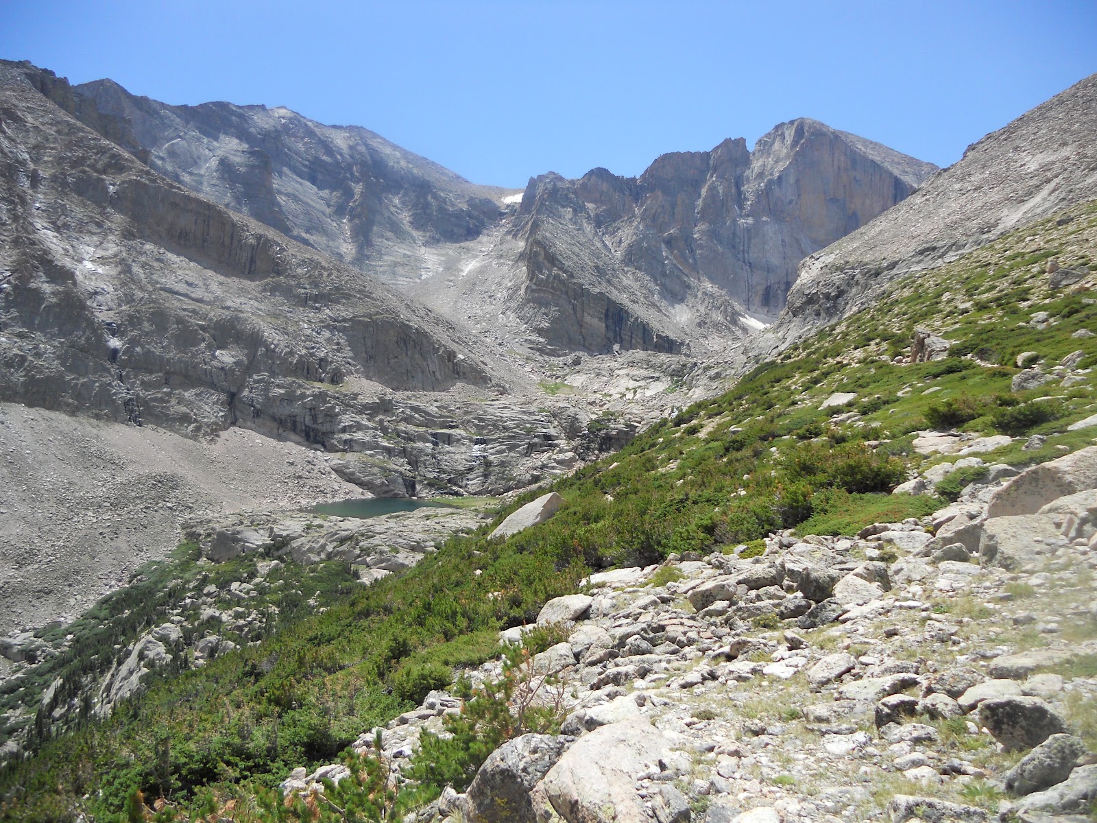
Chasm Lake with Longs Peak in Background
Completed: 3 PM

July 29, 2012

RMNP Over Night: North Inlet to Bear Lake

Longs Peak from Flattop Peak


I was dropped off at North Inlet Trail-head (near Lake Granby) at 13:00 and hiked 1,000 feet and 7.5 miles to North Inlet Junction Camp, where I spent the night.


En route to camp, I spotted a moose in the brush lying down chewing his cud.  Despite their size, a moose is a master of disguise.


The North Inlet Trail follows the North Inlet River for 8 miles before heading up into the high country. Along the river, there were a lot of very cool features, pools, waterfalls, and rock formations.  This is Cascade Falls:


After breaking camp and climbing above the North Inlet River looking down.


After leaving the North Inlet River, the trail climbs, 3,000 feet out of the tree line and over the Continental Divide.


Once up the Continental Divide, I hiked down the eastern side with my final destination to be Bear Lake, 10.1 miles from camp. On the way down there was an overlook of Emerald Lake with Longs Peak in the background.

July 26, 2012

Rocky Mountain National Park Day One - Travel


Somewhere, Utah

This was happening in the hotel room: 3 to 6 AM
A sixteen hour drive with two kids and three adults with no room to spare sounds nightmarish, but it didn't go so bad.  There were some moments, but I can't fault anybody for being stuck inside a metal box that long without going a little crazy; especially a two year old made from my DNA.

Somewhere in Nevada

 
Landon Montgomery
Overall it went very well.
Sleep for the weary


July 19, 2012

Rocky Mountain National Park: Beaver Mountain Fire

Currently there is a fire in the Rocky Mountain National Park.  As of this writing (July 19, 2012), the fire is nearing containment: Story 1.  Lightening was suspected to be the cause: Story 2.

The Ute Trail that I summarized in the Select Trails section of the blog, was closed and has recently been opened:


The Ute Trail has reopened Beaver Mountain Fire

This fire in no way should impact any of our plans.

July 17, 2012

Longs Peak Prep: Current Condition

I found a recent post on twitter with a picture of Jacob on top of Long's Peak:


Enjoying the view from Longs Peak Summit. Elevation 14,259 ft.

So I asked him:

sweet. much snow? crampons? what time u start? finish?

And he answered:


no snow on the path.. started at 4:30 and driving away at 3... helluva day :) 

thanks, that is what i wanted to hear, glad it went well

I informed him that I used his picture:

i am gearin up to climb longs with a group of guys, hope u dont mind but i used ur photo in my blog:

He left me with this warning:
it was a really nice hike... a bit more than I bargained for after the key hole, but a lot of fun. Glad you can use the photo

For the most current Longs Peak weather condition, CLICK HERE.
 

July 16, 2012

Longs Peak Prep: Altitude Sickness

On July 22, 2011, a 26 year old man from Wichita, KA experienced life threatening high altitude sickness while attempting to climb Longs Peak.  The man fell ill on July 21 and descended from his summit attempt to the Boulderfield where he spent the night.  On the morning of the 22nd, when it was apparent his symptoms of an altered consciousness were not lessening, an emergency call was made which resulted in a helicopter rescue.  It was speculated that without the emergency rescue, the man may have died.

What is altitude sickness?


At an increased elevation, the air pressure decreases resulting in less oxygen per breath.  A lack of oxygen to the muscles and brain can cause altitude sickness.    Symptoms can be felt as low as 6,500', but usually minor effects will be experienced at 10,000' when climbing rapidy without acclimating; more serious symptoms at 12,000'.  Altitude sickness if severe enough and not treated can result in death.  Some common symptoms:
  • headaches
  • fatigue
  • stomach ache
  • dizziness
  • nosebleed
  • swelling of hands/feet   

How to acclimate?


  • ascend slowly
  • spend time at high altitudes
  • aspirin to thin the blood
  • water
  • caffeine (mountain dew)

How to react?


If a climber begins to experience some of the symptoms and is below 15,000', it is best to stop and rest, drink water and assess the symptoms.  Is it persistent?  Is it getting worse?  If so, it is be best to get to a lower elevation.  In many cases, assessing your own symptoms is not recommended.  Altitude sickness can weaken good judgement and analysis of reality.  In my own experience, thinking and senses become foggy. 

Good preparation and good judgement will greatly decrease someone in the climbing party from suffereing altitude sickness.